


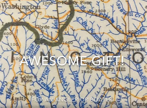
Pennsylvania Map
The first and only highly detailed map of its kind. Showing virtually all of the 83,260 miles of rivers and streams plus over 300 lakes. It was in 1965 when Professor Higbee put his finishing touches on the original Stream Map of Pennsylvania.
Options:
Paper (Folded)
The 33-inch-by-55-inch map paper folded to 8 X 10 inches and placed in a protective pouch. Includes BONUS #1, BONUS #2 and BONUS #3.
Laminated (Rolled)
The 33-inch-by-55-inch map laminated in crystal clear UV protection, heavy duty 3 mil. lamination on both sides. You can write-on and wipe-off the laminated surface when you use a dry erase marker. Now you can highlight your favorite streams and lakes and mark upcoming fishing trips. This laminated map has brass eyelets in the corners for easy hanging. The laminated map is guaranteed to last a lifetime. Ships rolled in a sturdy container. Includes BONUS #1, BONUS #2 and BONUS #3.
FOR A LIMITED TIME GET 3 FREE PDF Downloadable Bonuses available immediately after map purchase:
#1 Explorer's Guide to Hidden Pennsylvania Streams & Lakes:
Pinpoint the best fishing in Pennsylvania with this valuable guide. Easily locate over 900 productive trout streams and 300 lakes. Bass waters, class “A” limestone streams, and trophy fish waters will be easy to locate on your stream and lake map.
#2 Finding Secret Fishing Spots:
47 tips, tactics and tools you can use to find your own secret spot and catch more fish.
#3 How Anglers Stalk & Catch Record Fish:
The average big fish has evaded capture for over 10 years. Find out which instincts set monster fish apart from smaller fish. Stalking and catching a trophy requires knowledge of their unique habits and those special times when their guard is down.
RELATED PRODUCTS: LIMESTONE STREAM MAP: https://streamsmaps.com/products/limestone-stream-map-of-pennsylvania